September 01 2001– Chilcotin – Mud Creek – Relay Creek
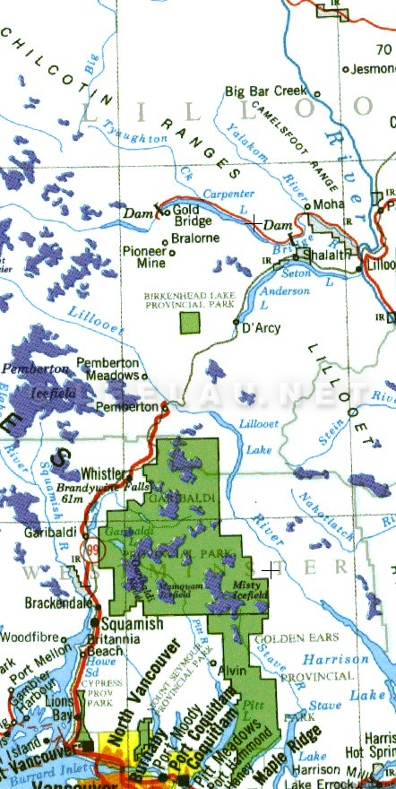
It takes about 5 hours to drive from the busy streets of Vancouver to the uncrowded wilderness of the chilcotin. If you take a look at the map above, it doesn’t look like much. It's about 2 hours max to Whistler, then another 3 hours along some rough roads past Pemberton and up the Hurley Pass road to Gold Bridge.
There's some incredible views along the way and some amazing riding. But I have ridden in this area before and these trails are not what I was looking for. Even the opportunity to four wheel drift my trusty yuppiemobile Volvo along the dusty forest roads - playing chicken with logging trucks - could not distract me from my goal. One of my longest-known riding buddies – Peter Weiland - had invited me on a long weekend which he had promised to be an epic. We had earmarked three back-to-back long rides in the chilcotin area.
Let me give you a bit of background on Peter and I. Peter is a German transplant who now runs a bike touring company in the area. As a shameless plug, their website is at http://www.rockymountaincycle.com. Let me add that he has created a great little niche for himself. One of my most memorable rides – an epic tour around the White Rim trail in Utah in one day – was with Peter. Peter is also a new father! This and running his own business meant that I hadn't seen him for pretty much the entire year. We both had plenty of time to reflect on the joys of being self-employed and how nice it is to be able to give yourself time off to ride and play while catching up on life during our drive to our first ride.
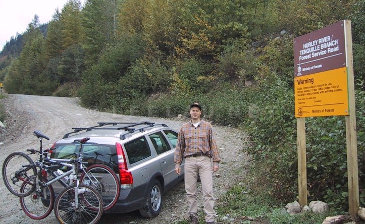
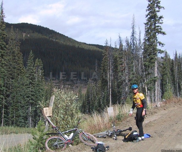
Ahh, the riding. Leaving Squamish at 6.30 meant that we projected to hit the trailhead to the Mud Creek – Relay Creek at about 10 am. However, the best laid plans of Peter and Lee are set awry by bridge construction. The bridge at Mud Creek is out – and will be out for the entire weekend. This means we have to park at Noaxe Creek and add 7km and about 200 m of climbing to what is already projected to be about a 60 km ride. However, there is no way around this predicament so we park, prepare and start riding. KM 0 is at 1100 m.
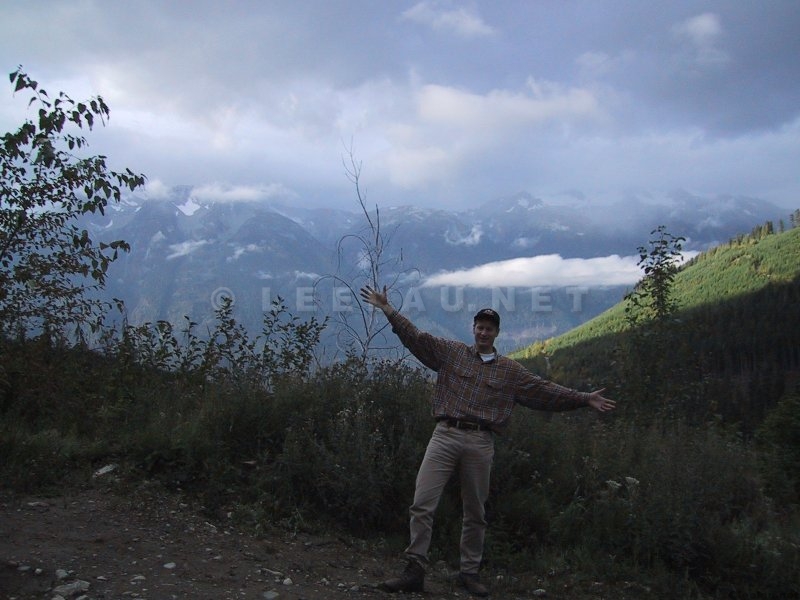
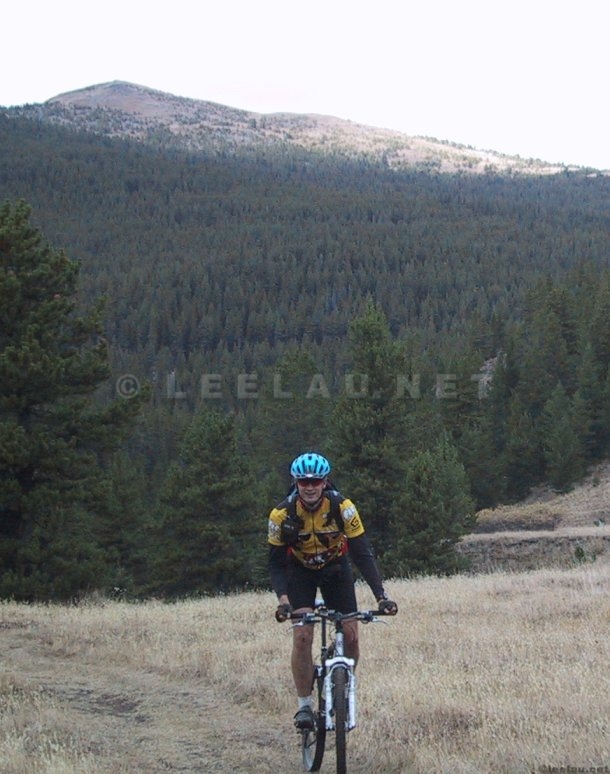
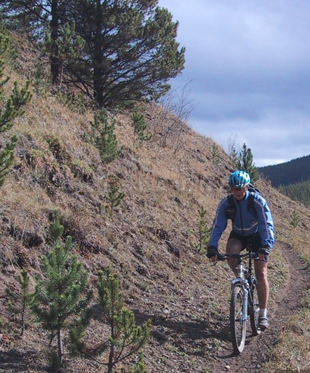
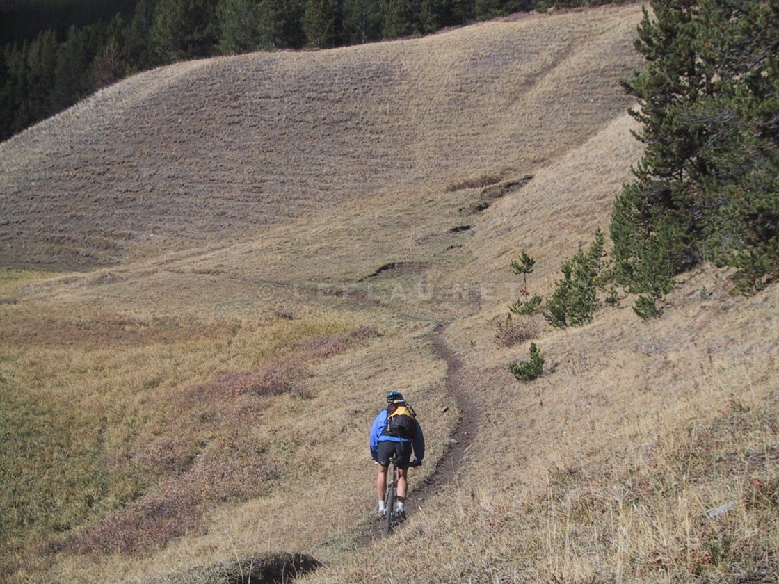
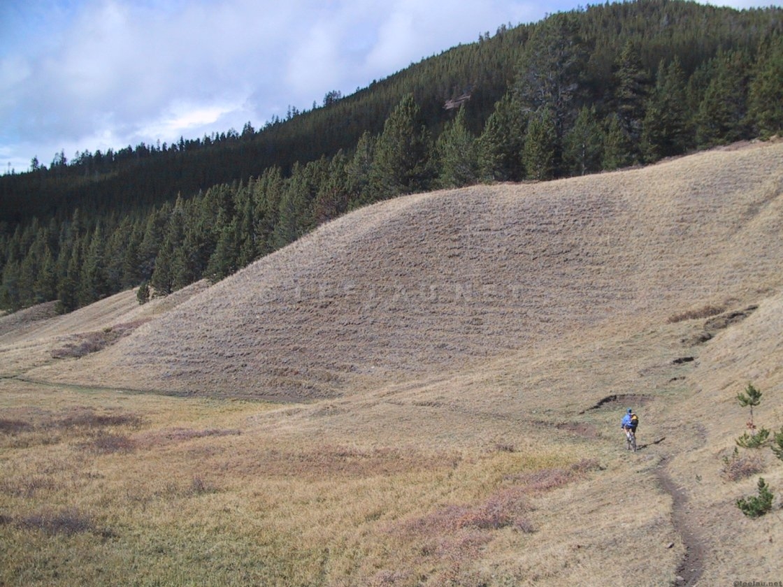
The first bit of climbing is a long steady climb up the Mud Creek FSR – northwards on a long fire road. The climb itself is about 17km long and ends at Swartz Lake all on the same stretch of fire road. We are not yet on the fabled chilcotin singletrack. The pictures are almost exclusively of Peter since I figured I could take the opportunity to get him some shots so he could update the company web site.
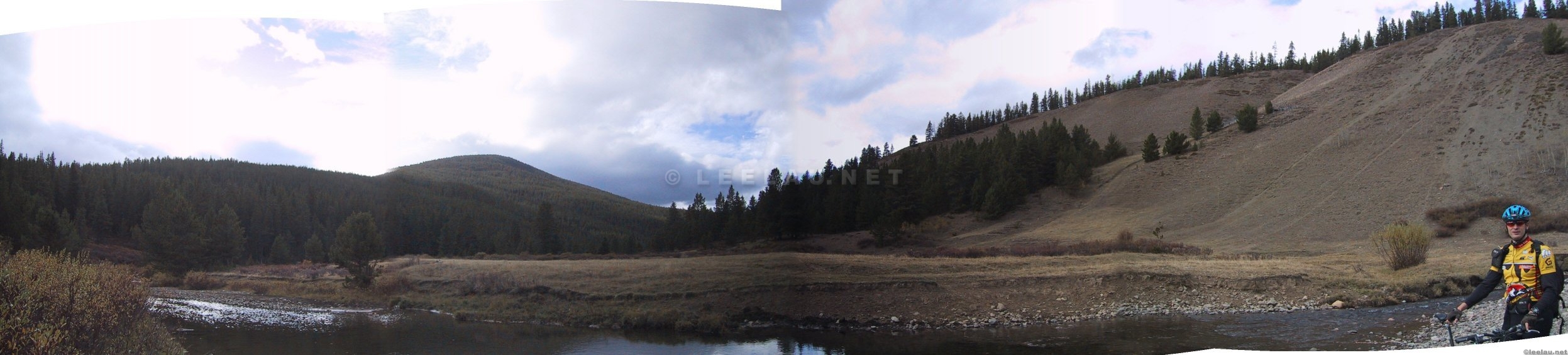
Below is a shot close to where we should have parked. This is 7km down the Mud Lake fire road. The next shot shows threathening cumulus clouds south of us. Apparently there was a front that socked in Vancouver. The chilcotin, and particularly the moutains in this area seem to create their own micro-climate. It is a good deal dryer here than lower in the valleys and it never did more than sprinkle on us the whole day.
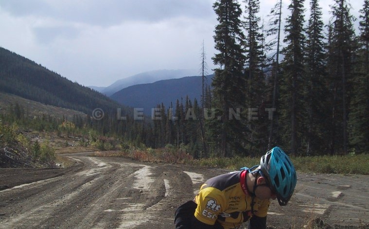
Despite the mundane non-technical nature grind of the climb, there are spectacular views along the way. The road culminates with a rather challenging and steep 2 km section where one alternates hike-a-bike and granny gear grinds climbing from 1560 m to 1830m.
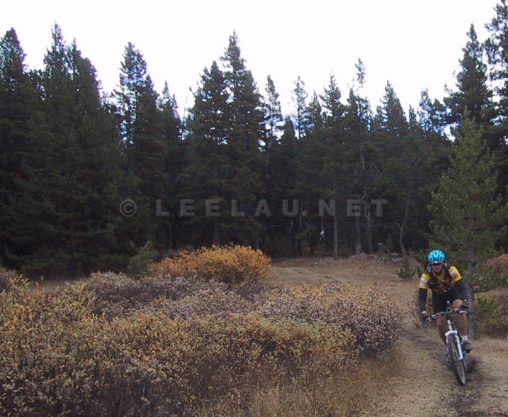
Then there is a short descent to Lone Valley Creek; of course we are enjoying the descent too much to take pictures. The next series of shots are in the rolling singletrack of Lone Creek heading westward. Gorgeous views are again, expected and delivered. The country itself is shaped by two major economic activities; logging and cattle-grazing. Much of this land is part of the huge Gang Ranch. I quickly find out why Peter's dual suspension is so nice as I get pounded by the little stutter bumps cattle hoof prints leave in trails.
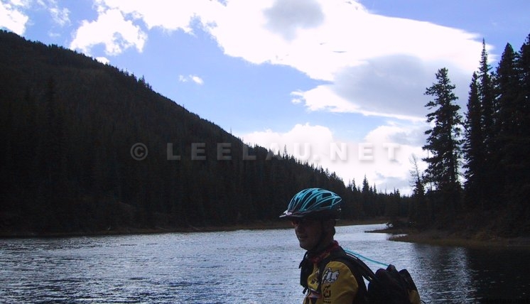
We continue merrily along our way. We have a good map; but for some reason Peter's bike computer is not spitting out its usual precision readings (we later figure out it that the sensor had been knocked askew). It turns out to be an unfortunate diversion. At this point we ride down a creek north of Lone Valley Creek – completely unaware that we have taken a wrong turn. The creek itself is a gorgeous diversion – but it is 150 m and 5km in the wrong direction. Already stretched for time and behind schedule because of the bridge construction at the start of our trip, we start feeling a little bit of pressure.
But if we hadn’t taken this turn, I would never have been able to take this picture. There is a reason for everything after all.
It is now getting late, and getting colder as the front moves in. We both studiously ignore what looks suspiciously like tiny flakes of snow and backtrack to a hunter's cabin we had passed on the way. Somehow I still found time to take pictures. Who can ignore this kind of scenery?
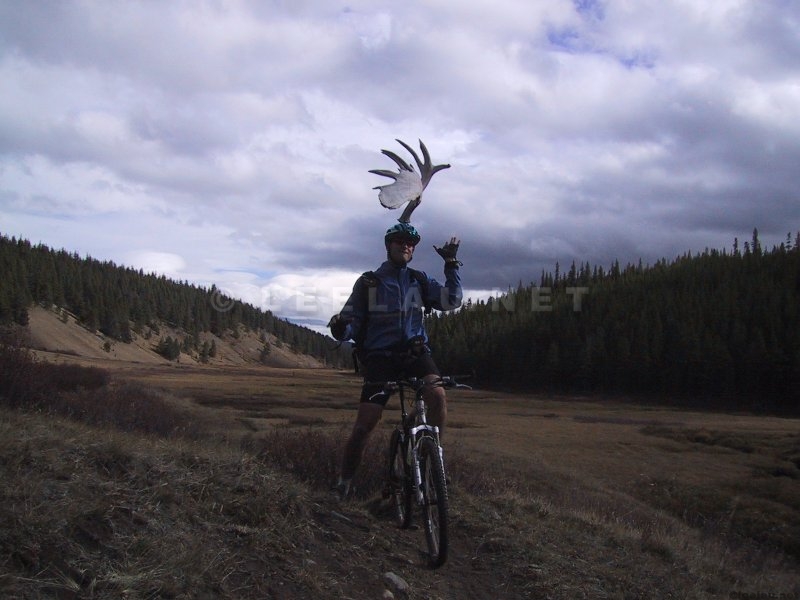
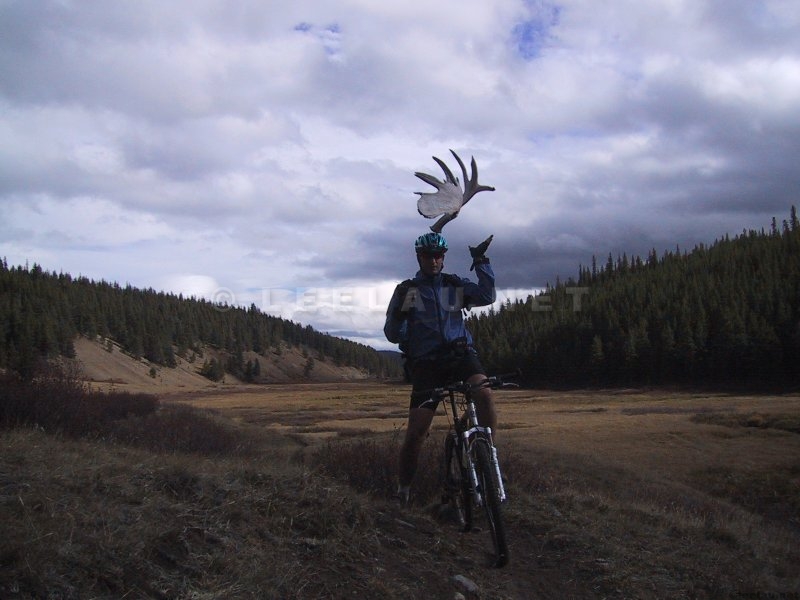
Did I mention that there is lots of wildlife in this area? We never did run into bears, for example, but we saw plenty of evidence. There is always time to horse – or should I say moose – around!
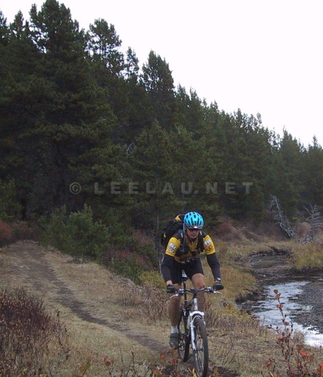
Bless our luck, there was a hunter at the cabin. If it wasn't for good old foul-mouthed swearing-up-a-blue-streak Harvey, bless his heart, I think we might still be out there. He pointed us in the right direction. The (correct) trail was NOT easy to find. I think game must have preferred the wrong-turn creek as the main trail most definitely turned down that path. By the time of the picture below – it was about 4 pm (it gets dark at 7pm) and we had covered 50km. We still had another 30 km to go; thankfully most of it downhill.
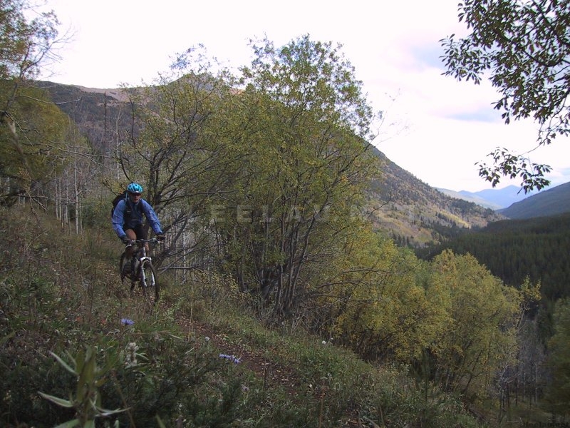
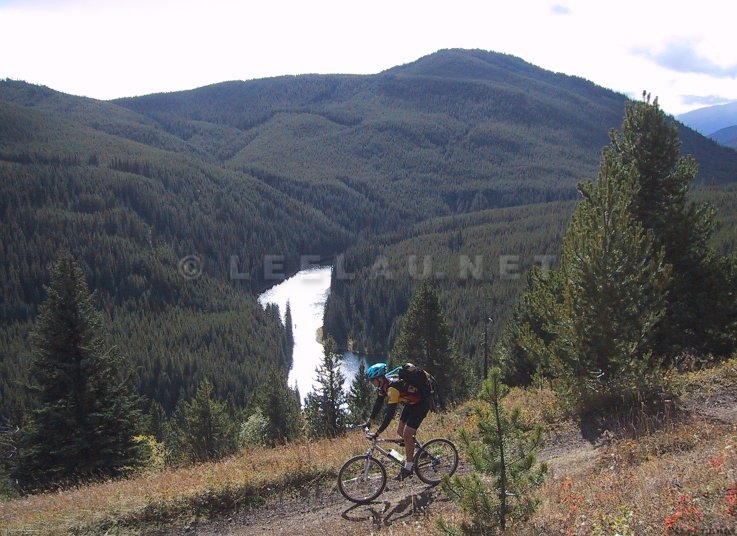
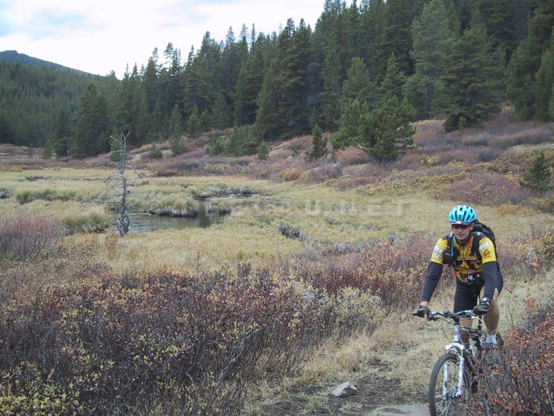
We are now turning southwest off Lone Valley Creek towards Prentice Lake – down a sweet bit of singletrack (pictured below) – and to Relay Creek FSR. This bit of singletrack was sweet. I sure wish we didn't have time pressure or that the weather didn't seem to be turning for the worse or that we had less than 2 hours of daylight to cover frigging 25 km!
The ride out itself looks simple on the map but was hard. The front had definitely blown in. The first bit of road was downhill and we did cover a ton of ground quickly. About 15 km of road and 400 m of elevation zipped by but with a definite headwind. The next 5 km of grinding UPHILL (who the hell planned these roads anyway?) up 150 m just about did us both in and we had to stop and force down the remaining power bars.
To cut a long story short, it was pretty much hell getting back but we made it back to the car with about 20 minutes of daylight – enough time for us to change. We then drove to Tyax Lodge – a little slice of luxury smack-dab in the middle of nowhere; where we managed to just get in under the wire to pay exorbitant prices for a buffet dinner followed by a hot tub. For the record – we rode 81 km and climbed a total of 1723 m averaging 12 km/h.
Home