Chilcotin aerial shots September, 2006
All pictures and descriptions courtesy of Randall and Kat's Flying Pages
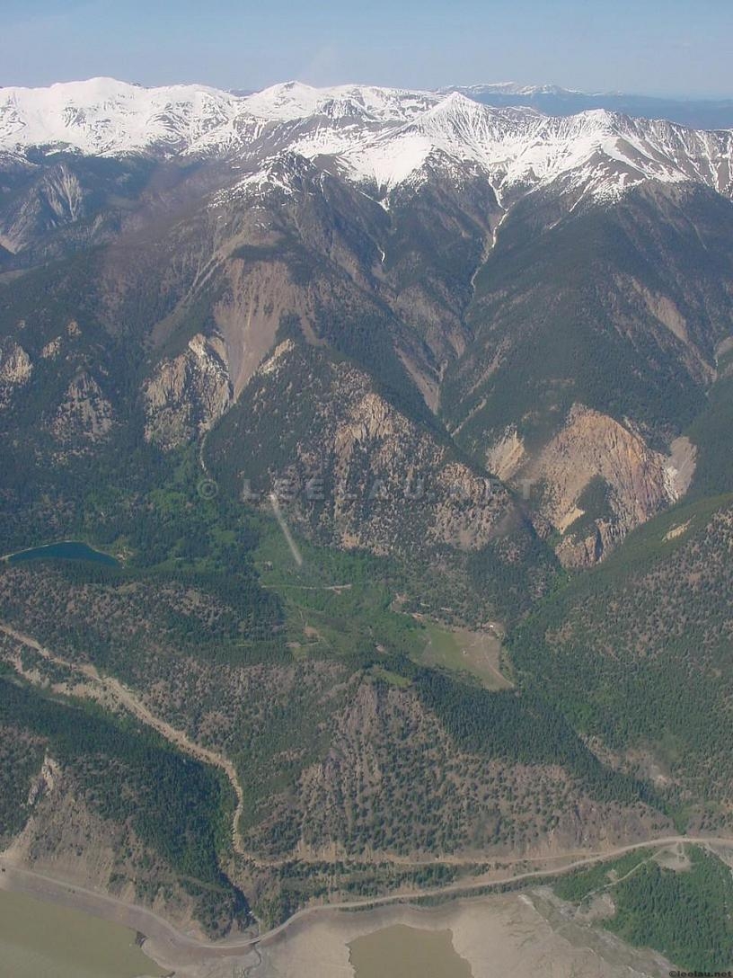
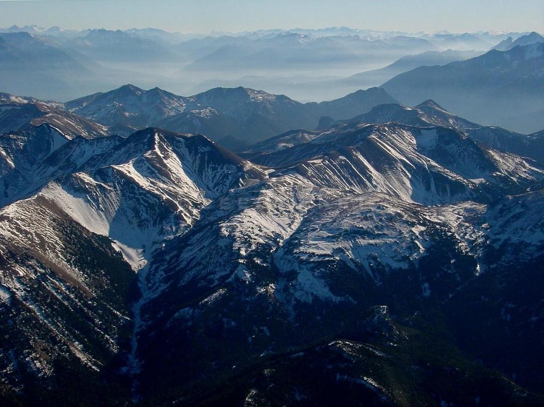
092 - Looking further up Gun Creek, we turn north towards Spruce Lake - in this area around Spruce Lake, Tyaughton Creek runs Southeast, then turns East to join Relay Creek. - 92 - facing WNW from Spruce Lake up Gun Creek, that is Hummingbird Lake and further upstream is Trigger Lake. Further upstream and to the right is Warner Peak. On the far right is Tyaughton Creek and the highest point in the foreground, between Gun and Tyaughton Creeks, is Mount Sheba.
093 - Looking northwest from near Spruce Lake, facing NW, Mt Sheba in the centre, and Tyaughton Creek watershed to the right
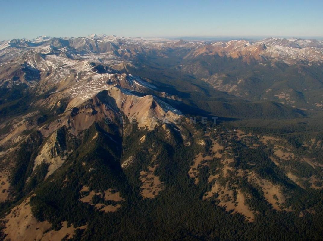
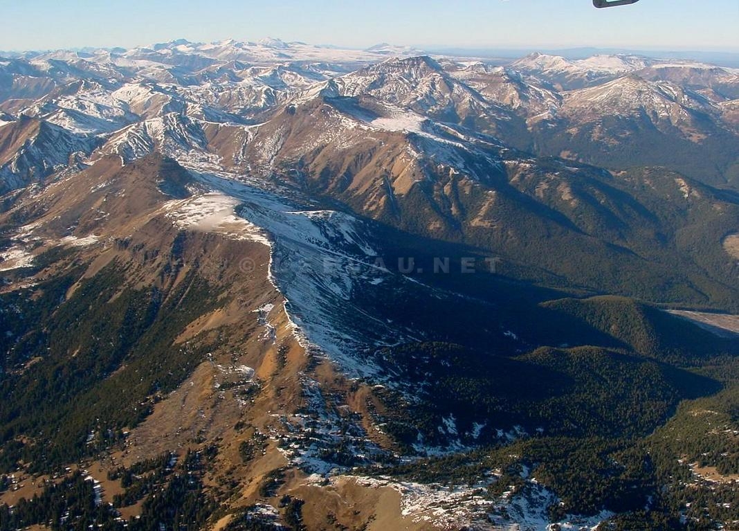
095- Now we are proceeding east along Tyaughton Creek - this is looking south at the north side of the Eldorado Range - in the centre left is the unnamed 7970' peak - right behind that peak is the Eldorado Creek watershed - the open area in the distance is the Bridge River Valley where Gold Bridge is
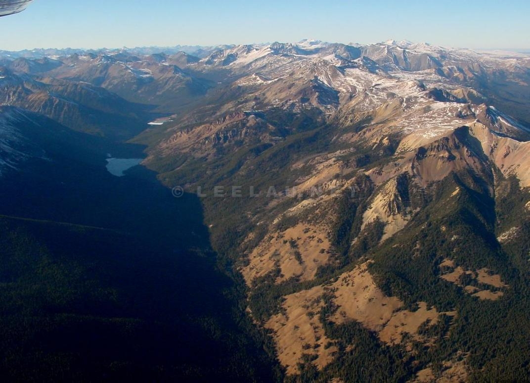
096 – From just west of the confluence of Tyaughton and Relay Creeks, this is facing Northwest up the range between those two creeks (neither creek is visible here). The high point of the ridge in the upper centre is Cardtable Mountain, and the higher peak behind it is Relay Mountain. Between those peaks is Paradise Creek which joins Relay Creek to the right
161- Looking north from
Carpenter Lake, the junction of the Marshall Creek Road, behind is Rex Mountain
and the Camelsfoot Range