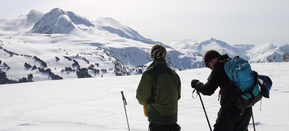
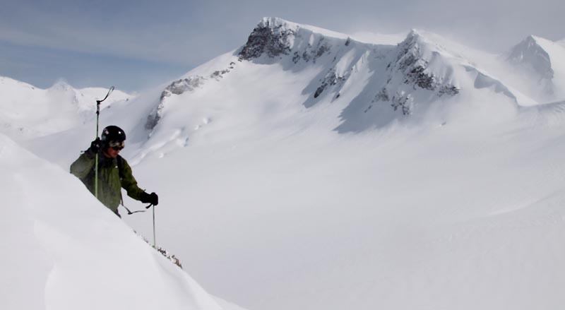
Rich and Phil on Oboe looking towards Fissile
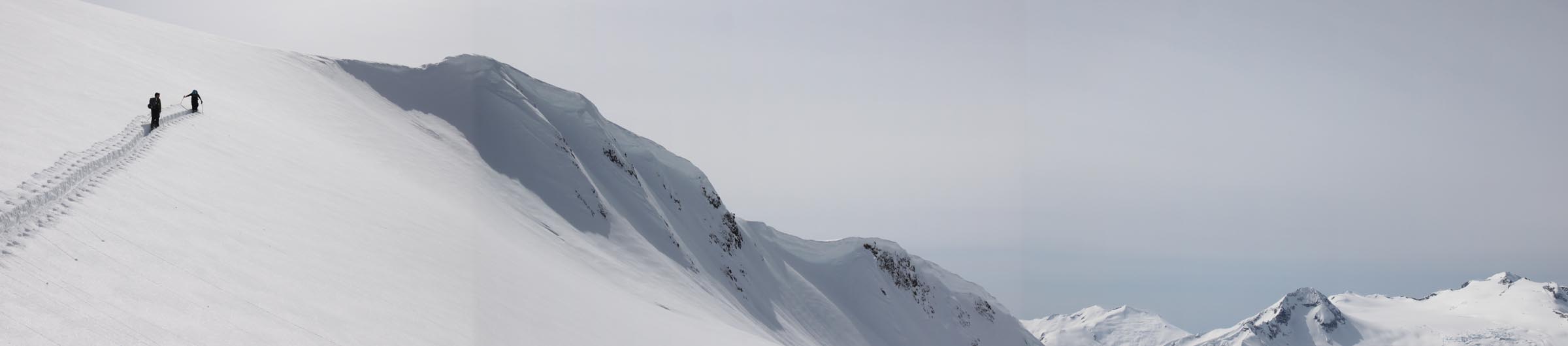
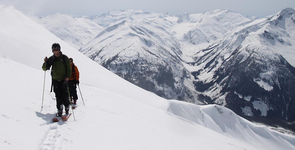
Phil breaking trail up to Fissile-Whirlwind col
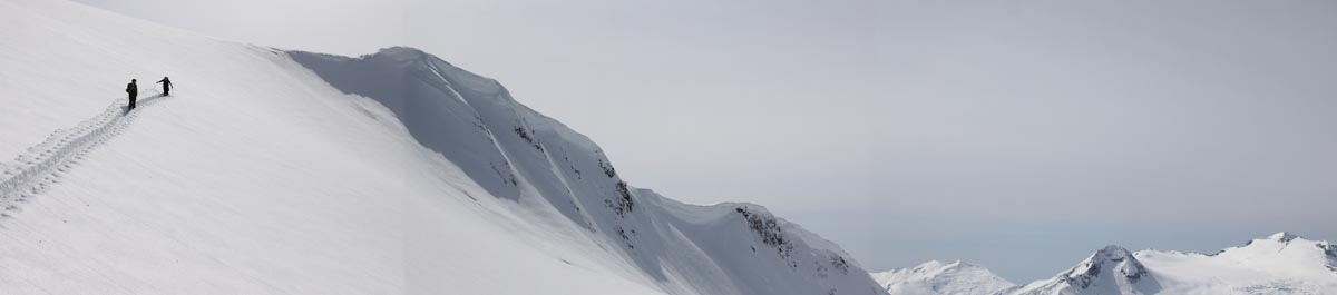
Resized panoramic - Phil breaking trail up to Fissile-Whirlwind col
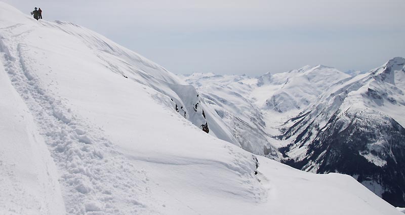
Short bootpack to Fissile Peak ridge
 '
'
Rich (and me) getting sandblasted by NW winds on Fissile Ridge
Bit of respite on the lee side of Fissile Ridge - view is to the McBride range
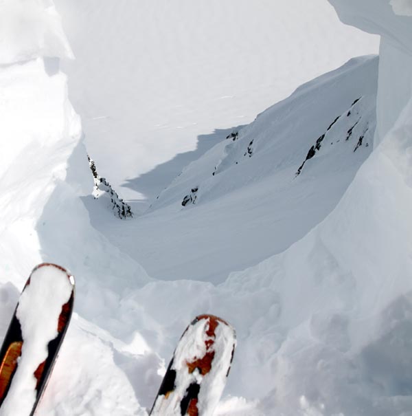
Looking down Fissile like a Missile to a 20 foot drop after I'd already chopped 10 foot off the wall. This new 30 ft of snow had fallen over the last month and a half.
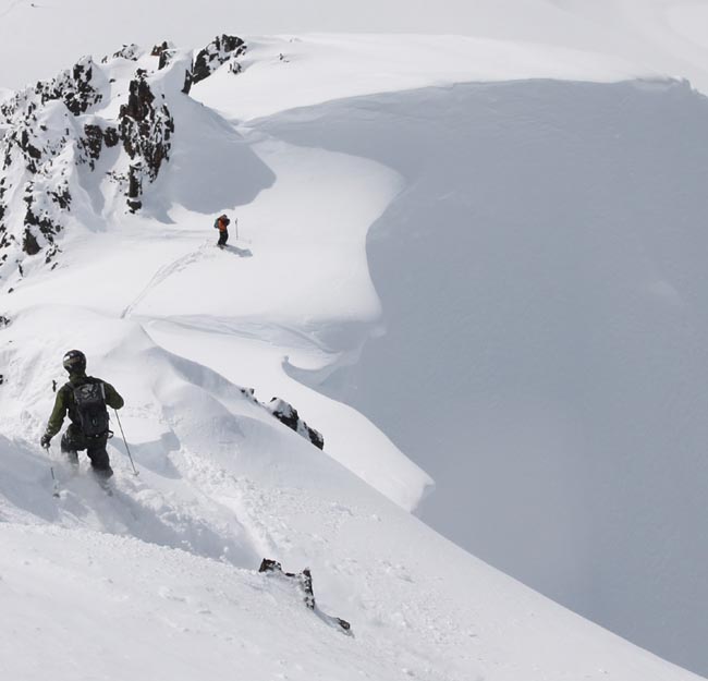
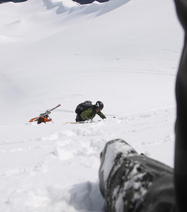
Rich making his way down a no-fall zone off the peak of Fissile to Saddle Chute
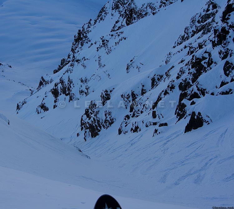
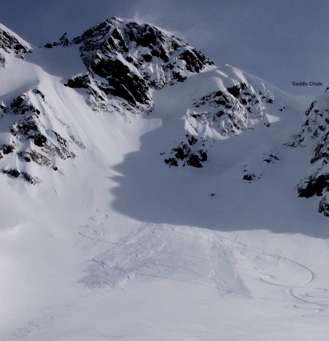
Older pictures of Saddle Chute
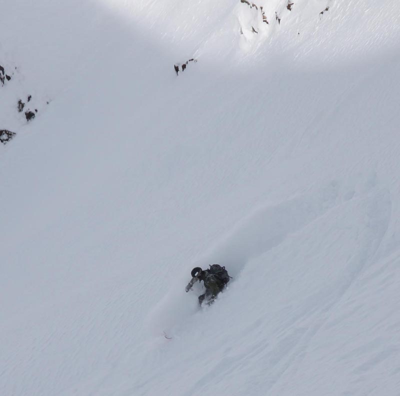
Rich on Saddle Chute
Our tracks off Saddle Chute
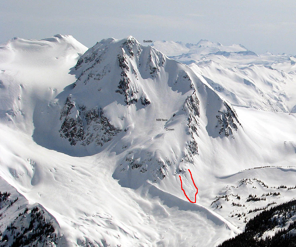
OLD PICTURES SHOWING THE SLOPE IN QUESTION _ NOTE THE PERSONS IN THESE PICTURES WERE NOT INVOLVED OR PRESENT THAT DAY
Skier is located approximately at start zone
Boarder is located approximately at Rich's location when avalanche started - inteded ski path is towards the right of the screen towards the band of trees
PICTURES FROM RESCUE HELICOPTER - MARKUPS BY LEE. (ORIGINALS ARE HERE http://www.leelau.net/2010/fissileevent2010_04_10/leeshots/patrolpictures/
Avalanche Incident Report - http://avalanche.ca/Forums/forums/t/4719.aspx
markedup.jpg)
)markup.jpg)
markup.jpg)
.jpg)
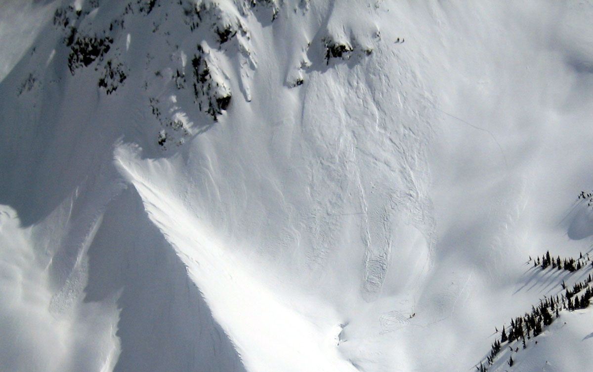
Picture taken from Trorey the day after. Area in red is the slide deposit
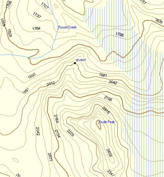
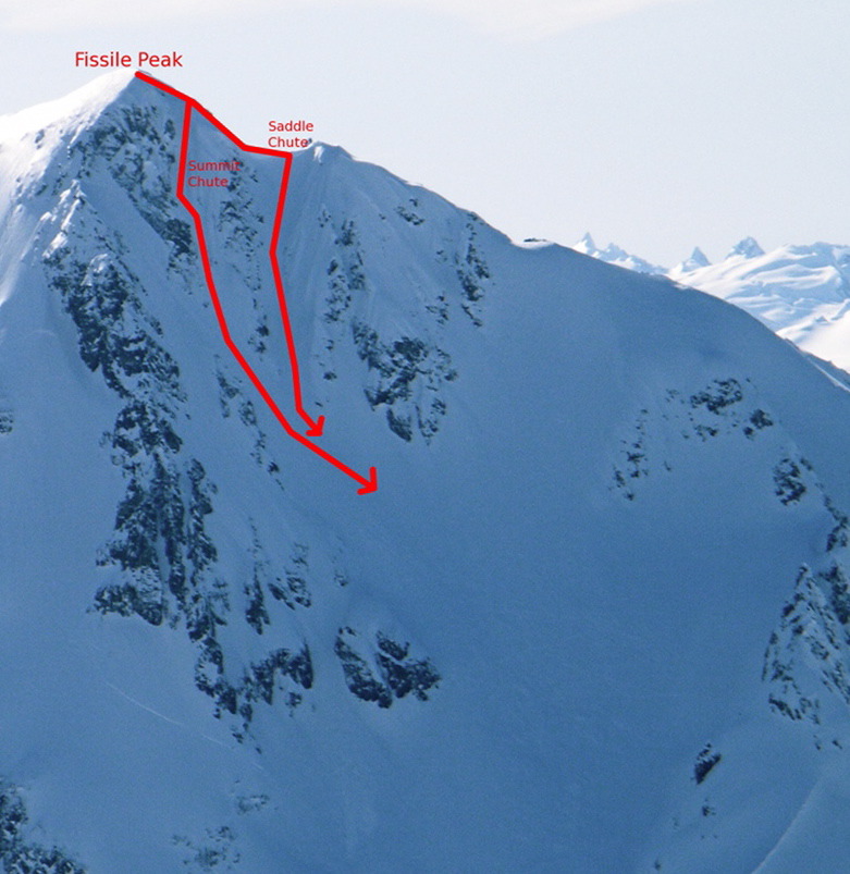
Map
VIDEO
http://www.vimeo.com/10873592
Phil on the no-fall zone above Summit and Saddle Chute
http://www.vimeo.com/10873412
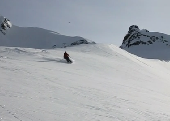
Phil entering Saddle Chute - Fissile
http://www.vimeo.com/10873323
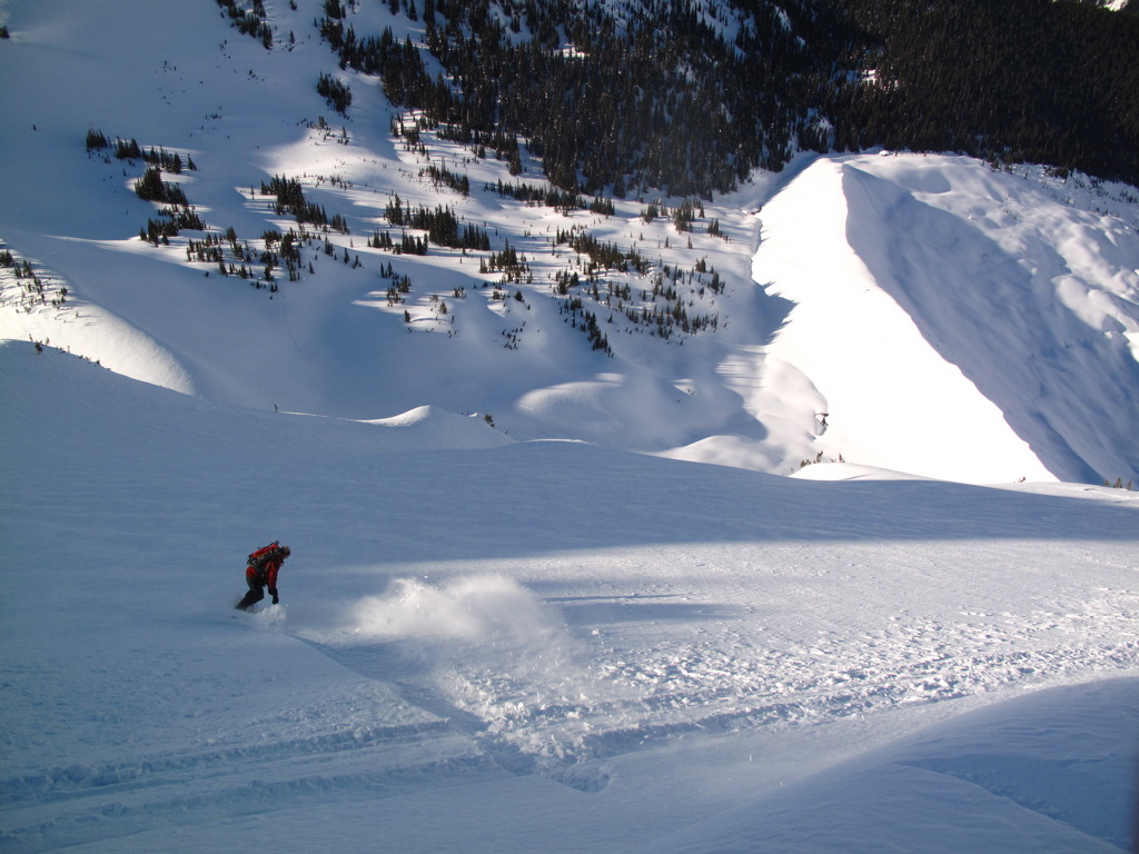
Rich on the bottom half of the NW face of Fissile

Taken April 18, 2010 - weather's erased tracks